location carrum design andrew brophy - urban initiatives
carrum foreshore
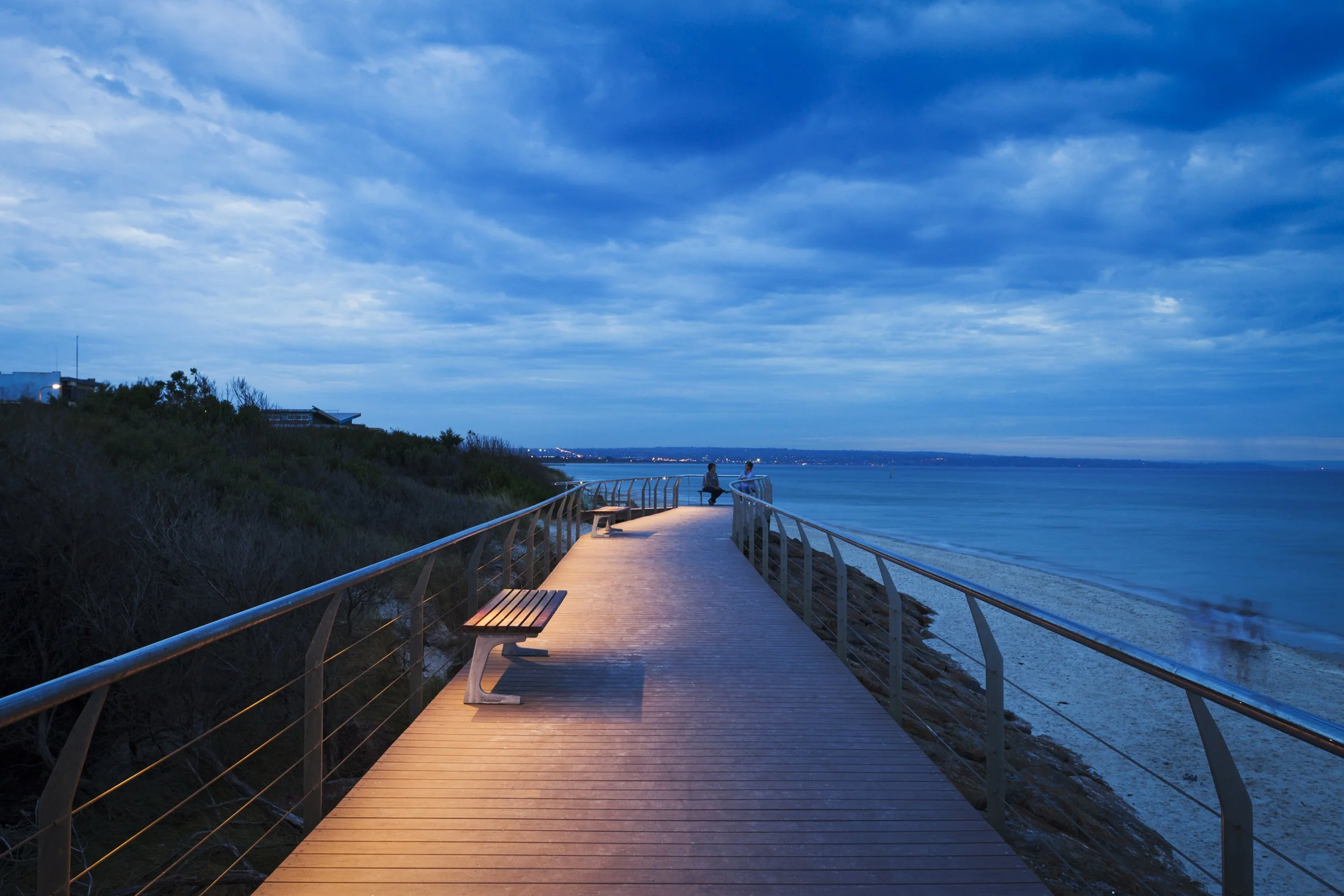
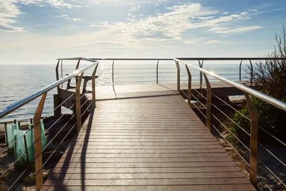
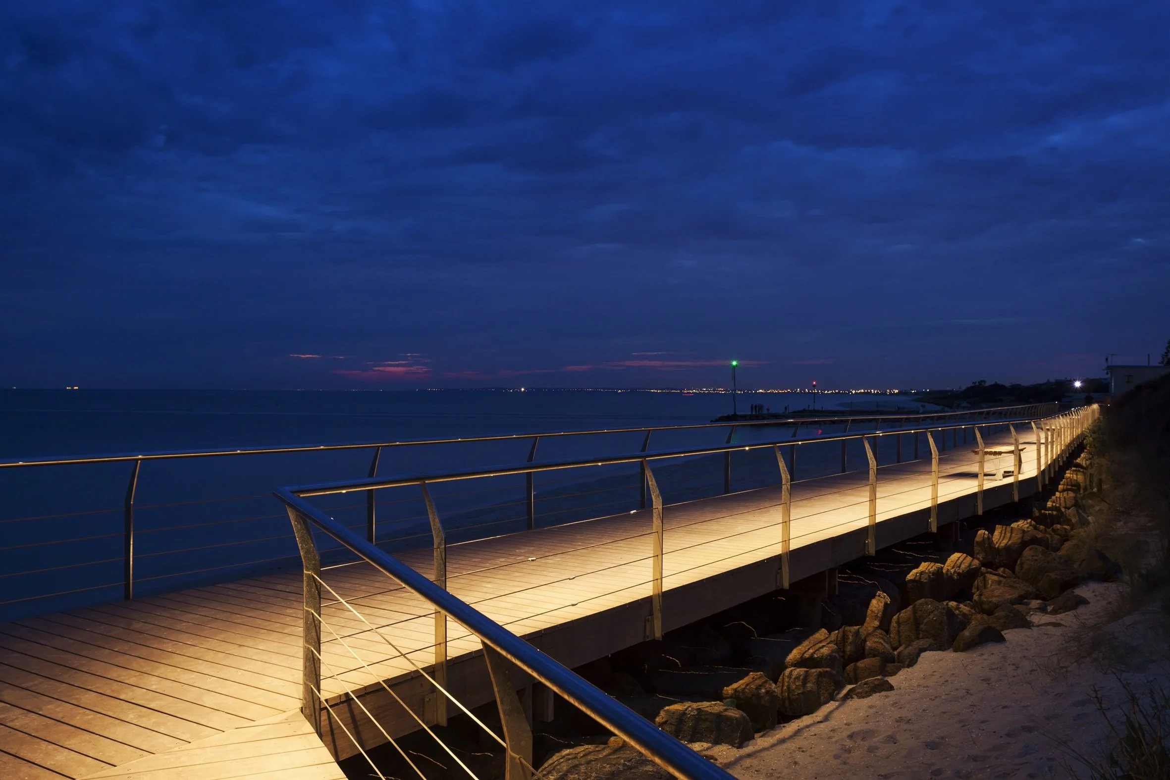
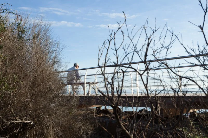
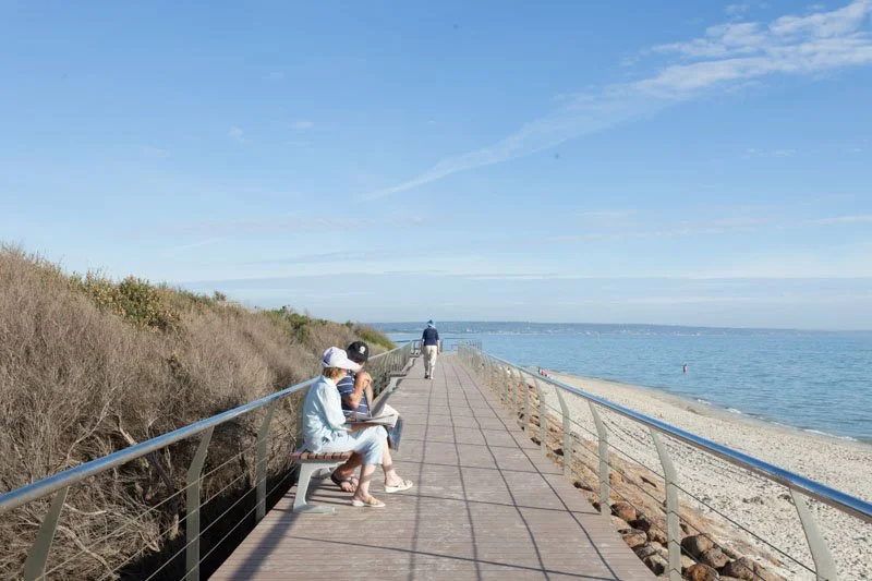
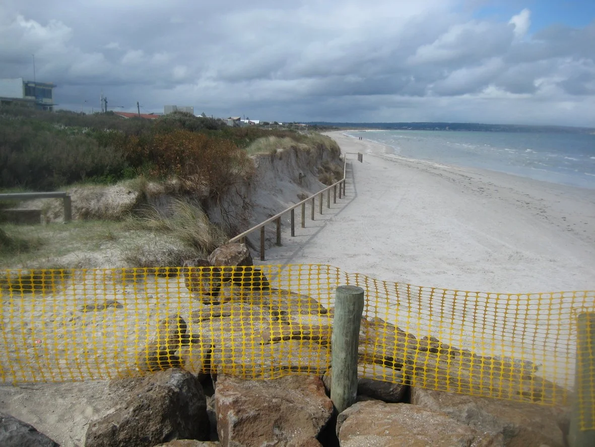
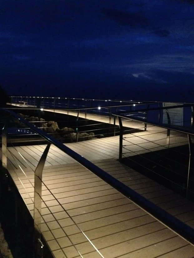
Severe erosion on the Carrum foreshore was addressed through the placement of a rock groyne and beach nourishment in 2013. The large groyne cut off local access to the beach so Andrew Brophy of Urban Initiatives working with the City of Kingston’s Steven Perumal conceived an elevated boardwalk to provide ramped access along the groyne and down to the beach. The timber structure features occasional seating, and dramatic lighting integrated with an elegant canted handrail.
site conditions
credit: drew echberg
-
![A wooden pier extending over the ocean at dusk, with two people sitting at the end and several benches along the walkway, under a partly cloudy sky.]()
drew echberg
-
![Wooden pier extending over water with railings, overlooking the ocean under a partly cloudy sky.]()
drew echberg
-
![Nighttime view of a lit wooden boardwalk along a beach with rocks, calm ocean, dark cloudy sky, and city lights in the distance.]()
drew echberg
-
![Person walking on a bridge with a metal railing, surrounded by leafless bushes and trees, under a partly cloudy blue sky.]()
drew echberg